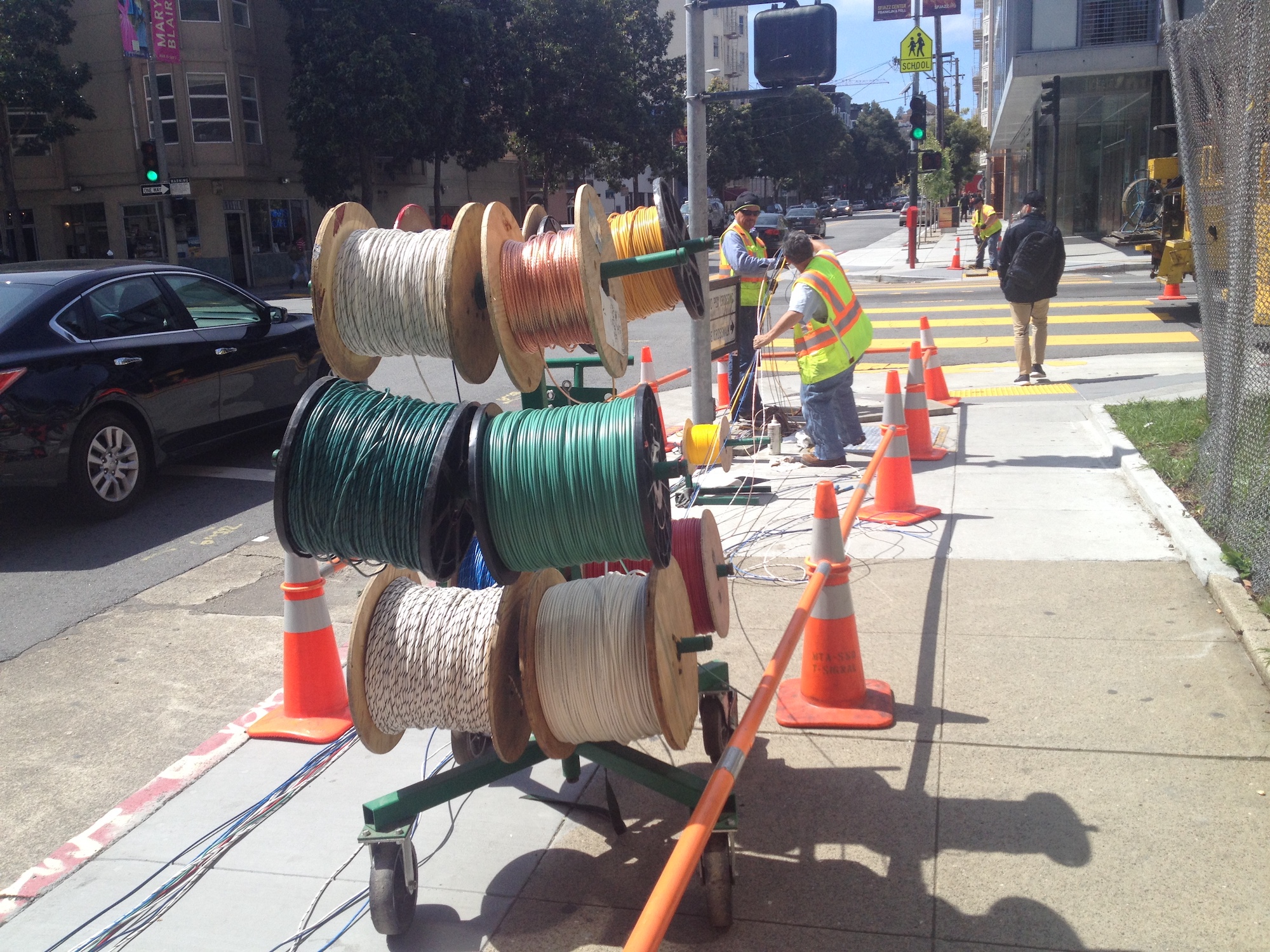
2022 - Affordable Housing as Public Asset
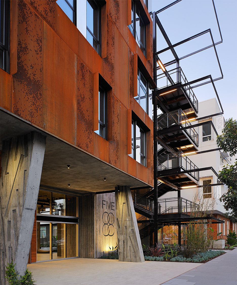
HOPE SF Alice Griffith Phase 1, Photo Credit: Blake Thompson Photograph
Affordability as a Public Asset
Affordable housing is essential for San Francisco’s resilience and livability, but it is also distinct from the other facilities and infrastructure in the public portfolio. Unlike the City’s horizontal and vertical assets such as pipes, streets, and buildings, when it comes to affordable housing, the asset the City “owns” is the affordability itself. Affordability is ensured both through restrictions placed on title or through ownership of the land underlying affordable units. With only one exception, the City does not own the affordable housing asset itself. Affordable housing buildings are typically owned by partnerships where the managing general partner is a mission-driven non-profit organization. Property management is provided either by the same ownership entity, or through contracts with third-party property management entities that specialize in affordable housing. Likewise, service provision for residents is typically provided through third party contracts between the owner and qualified service providers.
Financial support of affordable housing production and preservation is generally provided by MOHCD through loans to affordable housing developers. As such, the affordable housing projects supported by the City are not considered public works. Qualified development teams are selected through Notices of Funding Availability (NOFAs) or Requests for Proposals or Qualifications (RFPs or RFQs). Those teams then carry out preservation and new construction projects. This financing approach allows projects to leverage sources of funding at the state and federal level such that local resources are needed to pay only a portion of the total cost of development.
Key Terms
Affordability
The term 'affordable housing' refers to a broad range of levels of affordability that are typically divided into the categories below. The categories themselves are based on Area Median Income (AMI) which describes the level of income a household has relative to the region’s median income.
- Moderate Income: 80%-120% AMI
- Low Income: 50%-80% AMI
- Very Low Income: 30%-50% AMI
- Extremely Low Income: below30% AMI
In 2020, San Francisco’s median income is $89,650 for an individual, $128,100 for a family of four. San Francisco publishes its own AMI levels that are different than those published by the U.S. Department of Housing and Urban Development (HUD) and by the California Tax Credit Allocation Committee (TCAC) for the San Francisco region. MOHCD uses an “unadjusted” AMI, which is lower than HUD’s published AMI that includes an upward high cost adjuster (which TCAC then follows). MOHCD also places limits on year-over-year increases to AMI levels. As a result, real incomes that correspond to MOHCD’s AMI levels are lower than those for the same AMI levels as published by HUD and TCAC.
Permanent Supportive Housing
Permanent supportive housing (PSH), also known as supportive housing, refers to affordable housing that is designed for households (adults with or without dependent children, seniors, veterans and transitional age youth) exiting homelessness and offers voluntary on-site supportive services. In San Francisco, these services are provided by the Department of Homelessness and Supportive Housing, and future capital investments in PSH are discussed in the Health and Human Services Service Area Chapter.
Preservation and Production
Broadly speaking, affordable housing investments can be divided into two categories: preservation of existing affordability and production of new affordable homes. The City’s role in maintaining public housing resources is a combination of preservation and production efforts.
Preservation can be broken out into five categories: (1) preservation of MOHCD subsidized housing for continued affordability and habitability; (2) preservation of deed-restricted housing that is not subsidized and has affordability restrictions that will expire; (3) preservation of HUD subsidized housing that is not regulated by MOHCD for continued affordability and habitability; (4) the acquisition, rehabilitation, and preservation of rent-restricted or rent-controlled housing, vulnerable to Ellis Act and owner move-in evictions, and vacancy de-control; and (5) preservation of public housing.
New production of permanently affordable homes occurs primarily through one of a few mechanisms: units produced through San Francisco’s inclusionary zoning requirements, MOHCD’s multifamily lending program, and OCII-supported new multifamily production.
The Affordability Gap
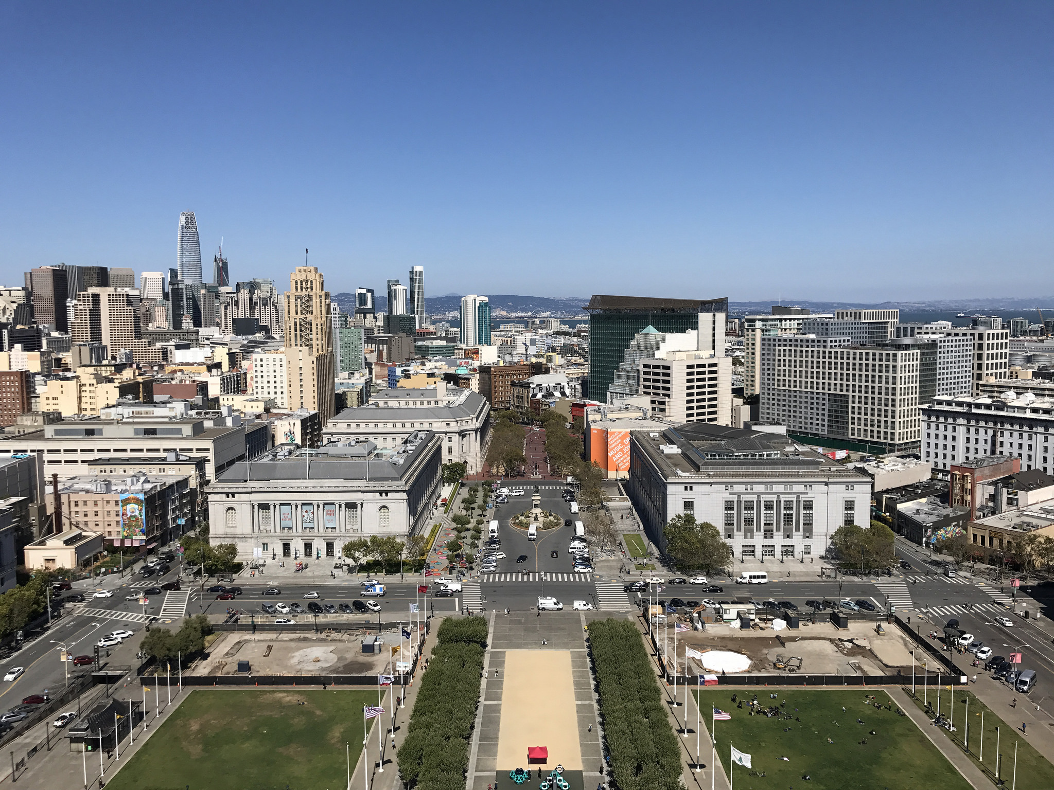
San Francisco has increasingly become unaffordable to wider sections of the population in the past two decades, and is one of the most expensive housing markets in the country. According to the Planning Department’s San Francisco Housing Needs and Trends report, this trend has intensified in the past five years due to the high-wage job growth in the region. Low- and moderate-income households are being replaced by higher income households and many of our existing households are at risk of losing their housing at the current affordable rates. The result is that many households are cost burdened. HUD considers any household paying more than 30% of their gross income on rent to be cost burdened, and households that pay more than 50% of their gross income on rent to be severely cost burdened.
The affordability gap in San Francisco can be illustrated in four ways: (1) too little housing production to meet population growth, (2) increasing numbers of vulnerable households that are cost burdened or otherwise not sufficiently housed, (3) the loss of units affordable to low income households, and (4) a significant homeless population.
The Association of Bay Area Governments estimates the housing need based on population growth through the Regional Housing Needs Allocation process. Local jurisdictions must show that they have capacity to accommodate this growth. The 2023-2030 Regional Housing Needs Assessment (RHNA) targets increase significantly; San Francisco’s share increases from 25,000 units (2014 – 2022) to 82,000 units (2023 – 2031), including 46,0000 units of housing affordable at very low, low, and moderate incomes.