2024 - Executive Summary: Enterprise and External Agencies
This Plan compiles information provided by the City’s Enterprise departments— the Port of San Francisco, the San Francisco Metropolitan Transportation Agency, San Francisco International Airport, and the San Francisco Public Utilities Commission. Those departments have their own timelines and Commissions that govern their capital processes. The information in this Plan represents the best available at the time of publication.
The Plan captures over $19 billion in Enterprise department capital investments during the next 10 years.
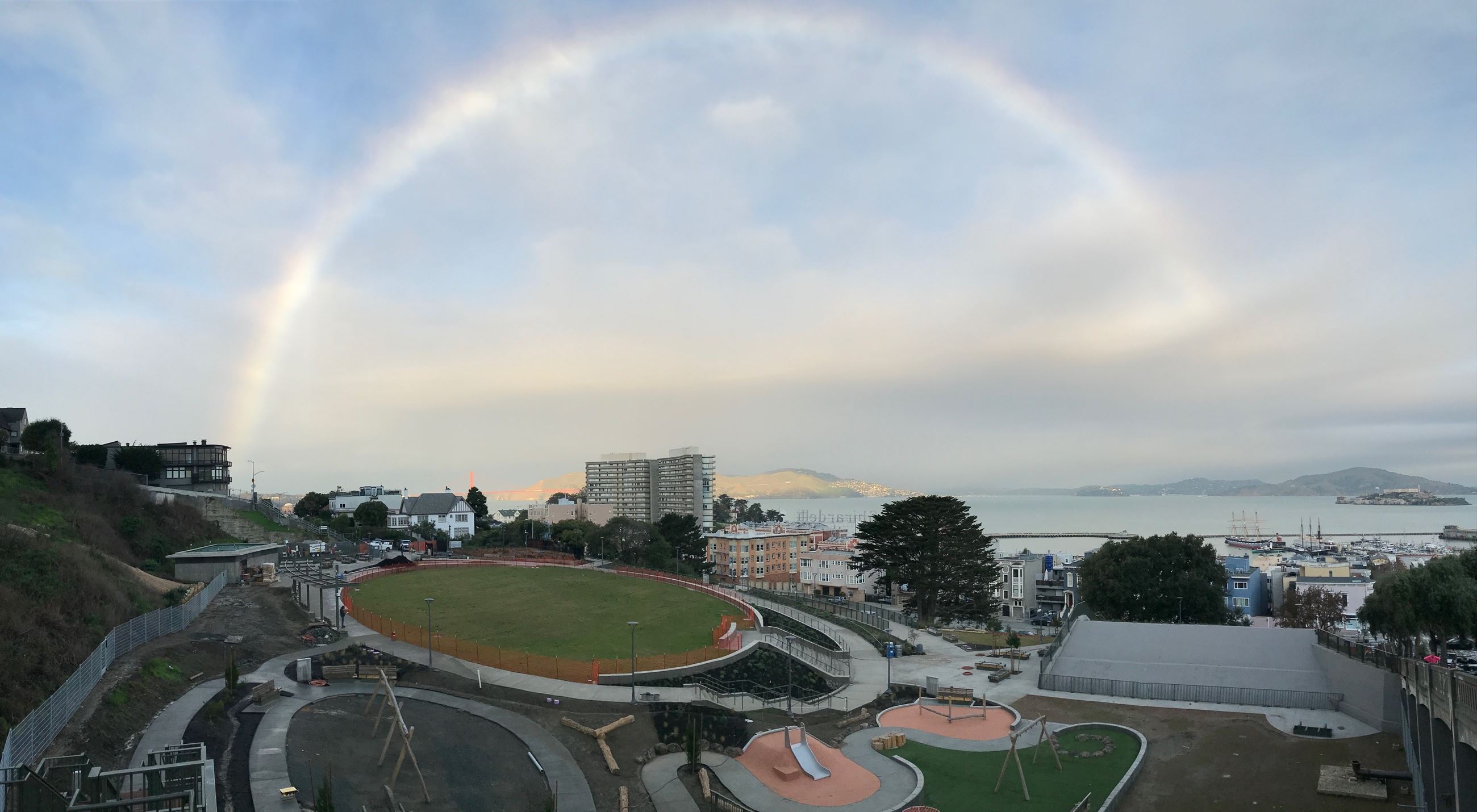
Major projects identified in the last Plan such as the Seawall, the Transbay Transit Center, Pier 70, and SFO terminal improvements, are proceeding. Additional Enterprise department needs have arisen, notably the need to build adequate facilities to support our growing transit fleet.
Table 1.4
|
Planned Revenue Bond Issuances FY2024-33 (Dollars in Millions) |
|||||||||
|---|---|---|---|---|---|---|---|---|---|
|
Agency |
FY24-28 |
FY29-33 |
Total |
||||||
|
SFPUC |
5,289 |
1,258 |
6,546 |
||||||
|
Airport |
669 |
1,060 |
1,729 |
||||||
|
Total |
5,958 |
2,318 |
8,276 |
||||||
Enterprise departments appear in the Plan’s G.O. Bond Program. The SFMTA passed a $500 million Transportation G.O. Bond in 2014, and the Seawall won approval for a $425 million General Obligation (G.O.) Bond in 2018. The next Transportation G.O. Bond is planned for 2026.
The Enterprise departments also issue revenue bonds against the revenues generated from user fees, taxes, and surcharges. Table 1.4 shows the current amount of revenue bonds to be issued for each department over the 10-year term of this Plan. As with the G.O. Bond and COP Programs, all revenue bond issuances are subject to change based on market conditions and cash flow needs of the associated projects.
For external agencies—City College of San Francisco, San Francisco Unified School District, the San Francisco Housing Authority, Treasure Island Development Agency, and the Office of Community Investment & Infrastructure (the successor agency to the Redevelopment Authority)—the Plan shows over $16 billion in capital investments over the next 10 years. As affordable housing funding supports the development of units that will ultimately be held and managed by third parties, planned investments in that area are represented as external, including those funds administered by the Mayor’s Office of Housing and Community Development.