Mayor London N. Breed launched ClimateSF
October 28, 2021
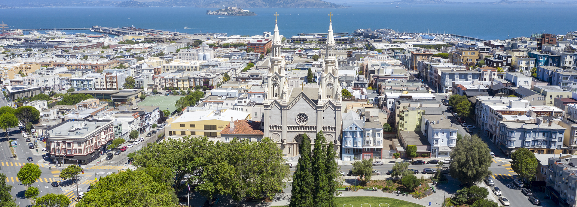
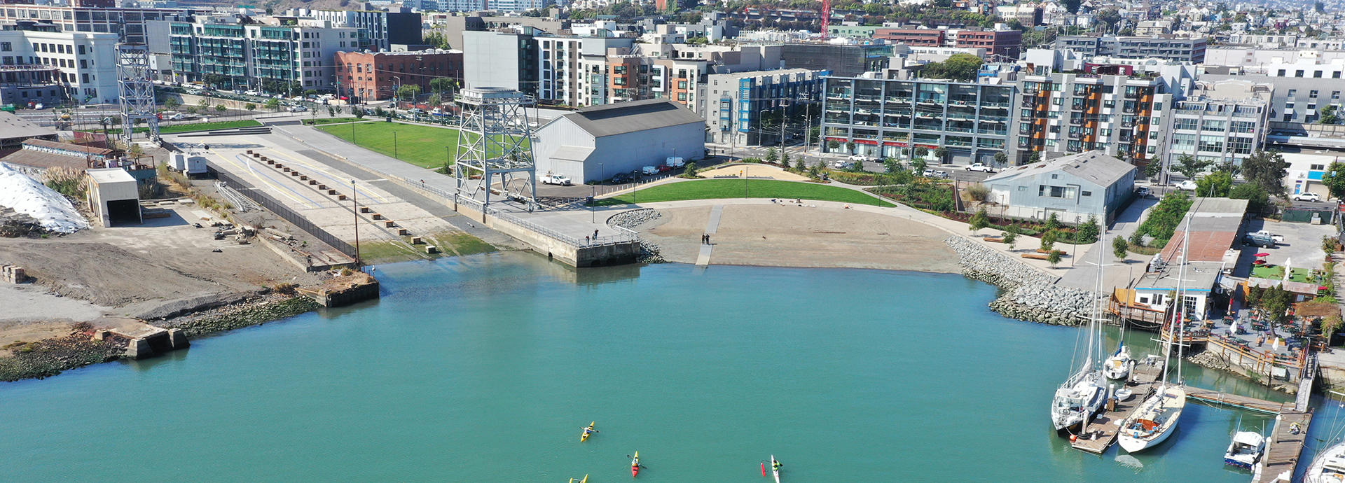
On October 28, Mayor London N. Breed launched ClimateSF, a comprehensive multi-agency effort to guide San Francisco’s climate resilience efforts, led by the Mayor’s Office and the San Francisco Office of Resilience and Capital Planning, Planning Department, Department of the Environment, Port of San Francisco, and the San Francisco Public Utilities Commission.
See press release here